Building Unique Solutions for Air Support Units
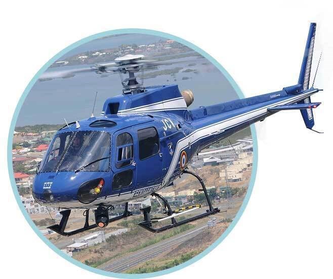
Designed around reliable performance, L3Harris’ WESCAM MX™-10 electro-optical/infrared (EO/IR) sensor system has been the solution of choice for agencies around the world. Engineered to withstand intensive use, the WESCAM MX-10 has pushed the capabilities of air support teams, adapting field-proven sensor technology from L3Harris’ more complex systems in its EO/IR product line. Smaller, more affordable but just as capable, ALE and SAR units benefit from critical features such as multi-axis stabilization and advanced infrared sensors. These components deliver operational effectiveness and reliability through all environmental and light conditions and mission parameters.
Embedding Adaptable Tools for Urban Environments
Often applied in unique urban and suburban environments, law enforcement agencies have been at the forefront of integrating new augmented reality capabilities and new embedded artificial intelligence features. This includes helpful tactical interfaces that overlay street names, urban identifiers and other geographical information dynamically onto live video.
New user-interface features also include automatic video tracking and multi-target tracking, allowing operators, pilots and tactical flight officers (TFO) to identify and track multiple objects at once throughout an urban landscape. These systems require close integration between the maps, tracking AI and video feed, which require accurate and stable geo-pointing from the system sensors. In the field, these capabilities work together to help crews identify key persons, suspects and buildings, or search areas of interest, especially when degraded visual environments make these tasks difficult.
Market forecast by Region, Domain, and Lifecycle phase. Country and Programme Analysis, Market and Technology Overview, Opportunity Analysis, and Leading Company Profiles
Download free sample pages More informationField-Proven Across Countless Missions
Due to its reliability during persistent and demanding operation, the WESCAM MX-10 has gained a loyal following. From patrol and air support to search and rescue, surveillance to fire assist, the capabilities and versatility of the sensor system support the important work performed by teams who continually make the world a safer place for people and wildlife alike.
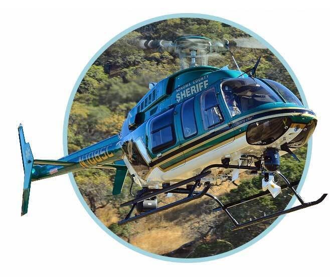
“L3Harris EO/IR systems have helped me in burglaries and robberies, day and night foot pursuits, weapons locations, stolen vehicle confirmation and added protection for units on approach. When there is a scheduled protest, we can use the camera system, including the additional zoom-in lens, from a further vantage point. We can then use the downlink system to broadcast our video feed to a fixed or handheld waypoint. In terms of search and rescue, we locate hikers in valleys, mountains and in the desert. We have even located a plane crash at night thanks to the IR sensors picking up heat from the engine.” Doug Brimmer, Deputy Sheriff and Pilot, San Bernardino County Sheriff’s Department
Idaho-based Owyhee Air Research (OAR) is at the forefront of using L3Harris aerial infrared technology in a wildlife and natural resource survey capacity. The WESCAM MX-10 enables OAR to perform its missions with less impact on the wildlife they are studying thanks to the long-distance zoom, stability and the ruggedness of the system to operate at medium to high altitude. That stability allows OAR to integrate geographical information systems mapping with visual information from the WESCAM MX-10 to ensure the most accurate wildlife surveys possible.
“When we flew the WESCAM MX-10 system, it was obvious right off the bat – the resolution, the quality of the infrared, the clarity and the stabilization. We didn’t fly any other system that was as stable as the MX-10.” John Romero, President, Owyhee Air Research.
The WESCAM MX-10 also provides superior imaging resolution in low-light/night-time environments with short-wave infrared (SWIR) and wide and narrow field-of-view imaging sensors. These have proven their effectiveness at penetrating poor weather, such as haze and fog and at varying altitudes – a critical capability for law enforcement and SAR missions where visibility can change quickly, or when missions move from day to night.
"Along with the reliability, the clarity has helped a lot," says Mark Foster, Pilot and Fort Bend County Sheriff’s Deputy, often operating at an altitude of 700-800 feet but sometimes rising to 1,200-1,300 feet to give his TFO more flexibility to find their target. A digital, high-definition and fully stabilized image takes out any guesswork, providing visual accuracy and precision at altitudes as high as 5,000 feet. "It makes it much easier to determine what we're looking at. We can even tell if we see a person or squirrel in a tree. It's that accurate."
Foster also sees missions often require air support due to the limits of ground searches.
"In Fort Bend County, we often get calls for missing people. Any time there's a search, we use the WESCAM MX-10. Whether we're searching rooftops, looking at terraces at different heights or if we need to cover many areas quickly, we can do it. In Fort Bend, there's a lot of farmland, pastures and waterways – places ground units can't reach. If the ground unit is having difficulty or they get word that someone has made their way to a pond, lake or river, we'll begin our airborne search using our thermal imaging."
The ability of the WESCAM MX-10 to fully integrate with a range of airborne platform and third-party systems allows flight crews to take full advantage of the system. For example, while Mark is navigating and maintaining altitude and flight pattern, his TFO can take further directions from dispatch while also controlling the camera.
"Working together with dual monitors and operating the systems like this allows us to manage any situation effectively and gives us a huge advantage."
All of this is possible with the L3Harris WESCAM MX-10, which provides airborne teams with a low-weight imaging system ideal for everyday surveillance and reconnaissance missions, and ultimately, to help people, keep communities safe and save lives around the world