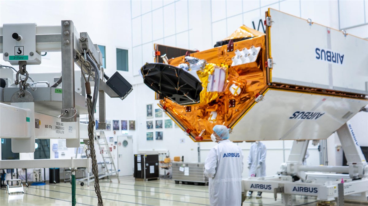
The "Copernicus Sentinel-6" mission is already delivering high-precision measurements of the topography of ocean surfaces through the first of two satellites, named “Sentinel-6 Michael Freilich”, launched in November 2020 and Airbus has just completed the environmental test campaign for the second satellite, Sentinel-6B. It will now be returned to its home base at Airbus’ satellite integration centre in Friedrichshafen (Germany) to make the final touches to the spacecraft.
The mission’s two satellites are built to measure the distance to the sea surface to an accuracy of a few centimetres and map it in a 10-day rhythm over a mission duration of up to seven years. Their purpose is to record changes in the height of the sea surfaces, variations in sea levels and analyse and observe ocean currents. Accurate observation of sea surface height changes provides information about global sea levels, the speed and direction of ocean currents and the heat stored in the oceans. The measurements – obtained from 1336 km above the Earth – are crucial for ocean modelling and predicting sea level rise.
This information helps governments and institutions establish effective protection for coastal regions. The data is also valuable for disaster management organisations, and for authorities carrying out urban planning, flood protection schemes, or dyke construction.
Market forecasts by Region, Technology, Application, Orbit, Launch service, and Payload. Market and Technology Overview, and Leading Companies
Download free sample pages More informationAs a result of global warming, global sea levels are currently rising by an average of 3.3 millimetres per year - with potentially dramatic consequences for countries with densely populated coasts. On 22 March 2022 “Sentinel-6 Michael Freilich”, became the official reference satellite for global sea level measurements. This means that sea surface height data collected by other satellites will be compared to the information produced by “Sentinel-6 Michael Freilich” to ensure their accuracy.
Part of Europe’s Copernicus, Sentinel-6 is an international collaboration between ESA (European Space Agency), NASA (National Aeronautics and Space Administration), NOAA (National Oceanic and Atmospheric Administration) and Eumetsat (European Organisation for the Exploitation of Meteorological Satellites).
London, United Kingdom
May 5 - 7, 2026